
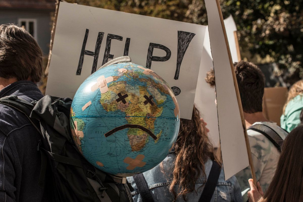
Between record heat, floods and fires, September 2024 proved to be an extreme month. The Copernicus Climate Change Service report highlights the impact of climate change, with a call not to ignore the warning signs
@Canva
September 2024 brought an element of new reality in that not only did the month break all heat records, but it also increased the extremity of weather conditions around the world.
From torrential rains that filled broad swaths of Europe to wildfires consuming whole regions, unusual atmospheric and temperature patterns have become the new normal.
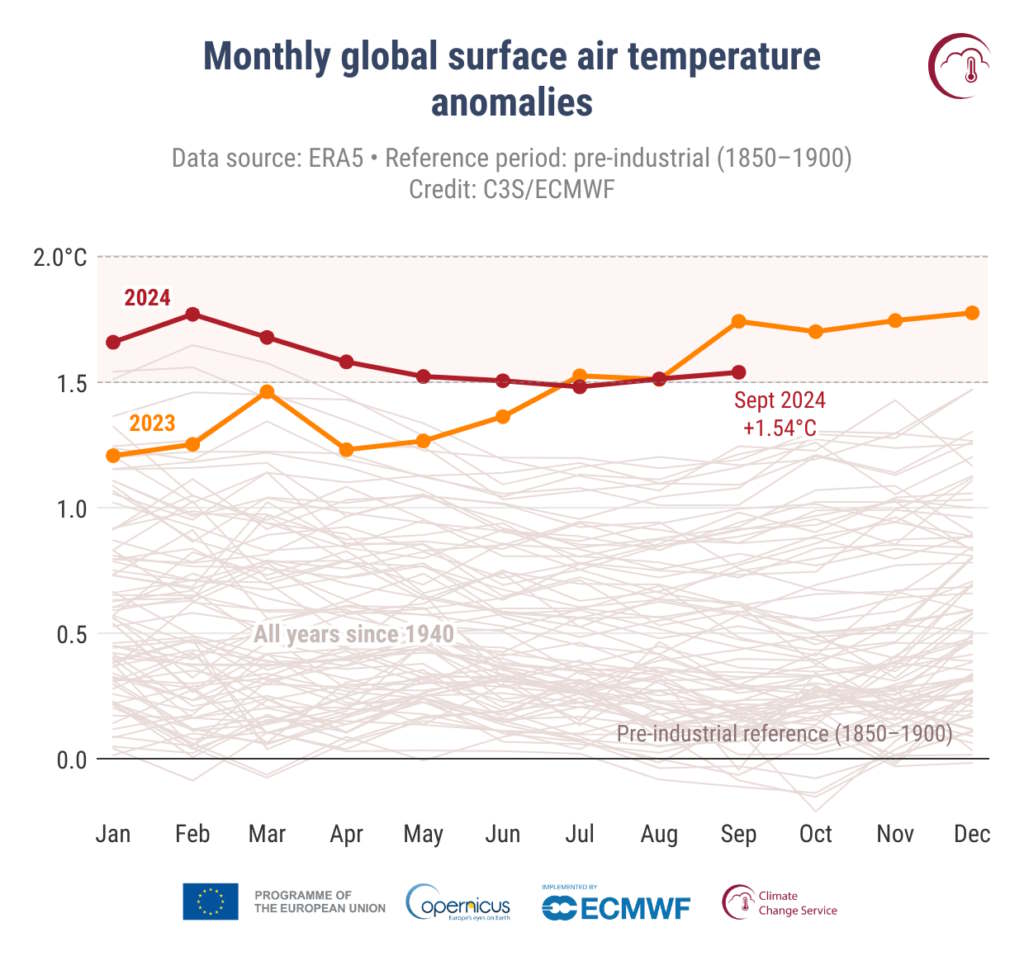
According to the Copernicus Climate Change Service, global average temperatures were 1.3°F above the baseline of 1991-2020, up 2.8°F from pre-industrial levels.
@Copernicus
A steady march to a hotter future
With heat records continuing to fall like dominoes, 2024 may end up as the hottest year on record.
So far this year, the global average temperature has risen by 1.3°F over the 1991-2020 average. Through September, the temperature anomaly reached 1.3°F above that baseline, while the pre-industrial anomaly reached 2.9°F. But the most striking element is the persistence of the trend-in the last 15 months, temperatures have been above the critical 2.7°F threshold beyond which climate impacts are increasingly difficult to control.
Extreme rainfall and record temperatures in Europe
The heat record was equaled by extreme rainfall: The storm named Boris battered Central and Eastern Europe with torrents that resulted in heavy flooding; meanwhile, many regions-most significantly Northern Ireland and the United Kingdom-fought through a worrisome drought that was exacerbated by wildfires.
Samantha Burgess, Deputy Director of the Copernicus Climate Change Service, explains, “Extreme rainfall-energized by a warmer atmosphere-continues to intensify, with months’ worth of rain falling within days. The risk of extreme events will continue to rise as temperatures climb.”
A World at the mercy of extreme weather events
Worldwide, September 2024 was a disaster: while the rain had flooded Central Europe, other areas like the Iberian Peninsula and the Sahel suffered under an acute drought.
North America took a blow when Hurricane Helene hit the southeastern United States, while southern Brazil and northern Africa were hit by intense rainfall. Typhoon Krathon pounded the Philippines and Taiwan in parallel with Pakistan taking a significant beating from its monsoon.
The same high temperatures and low precipitation in large parts of several regions brought on catastrophic wildfires, as with the episodes in Russia and much of South America. The sweltering heat combined with aridity has become a volatile cocktail, devastating the ecosystems and further exacerbating the crisis in climate change.
Warming oceans and melting ice
But the oceans, however, are paying the full price for global warming. The global average sea surface temperature reached 69.5°F this September 2024-its second highest on record for this month.
Meanwhile, in most oceanic regions, sea temperatures remained unusually high, outside of La Niña’s cooling influence that caused a slight decline in the central and eastern Pacific. The unprecedented increased marine temperatures are destroying marine life with new records together with coastal communities.
In the meantime, Arctic ice continues to decline. According to the Copernicus Climate Change Service, Arctic sea ice reached its sixth-lowest annual extent, 19% below average. The situation is just as dismal on the other continent, Antarctica, with sea ice 7% below the average, on a downward trend that has yet to show any sign of reversal.